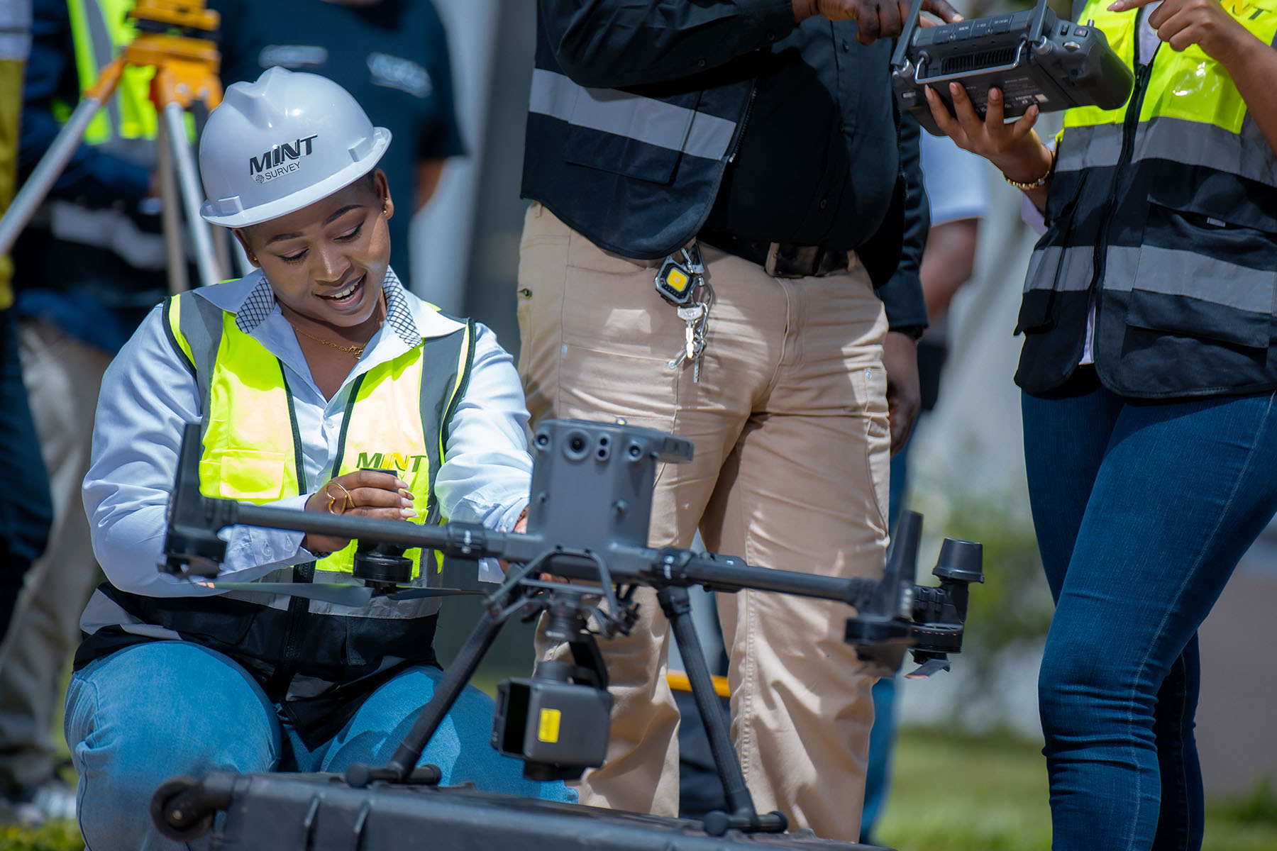
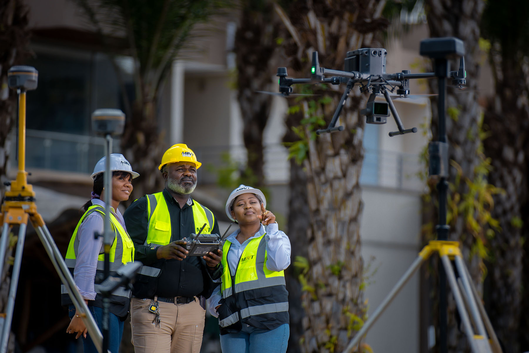
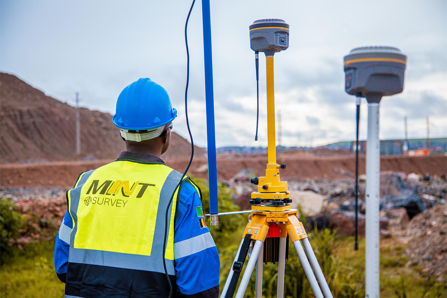
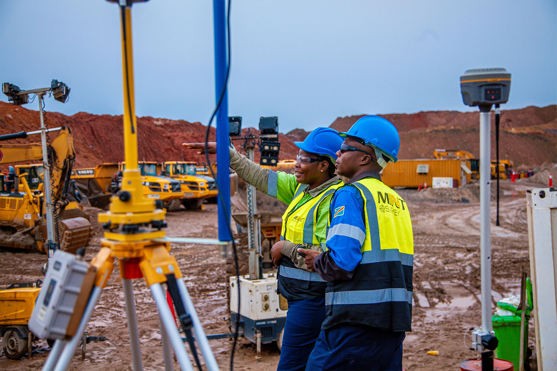
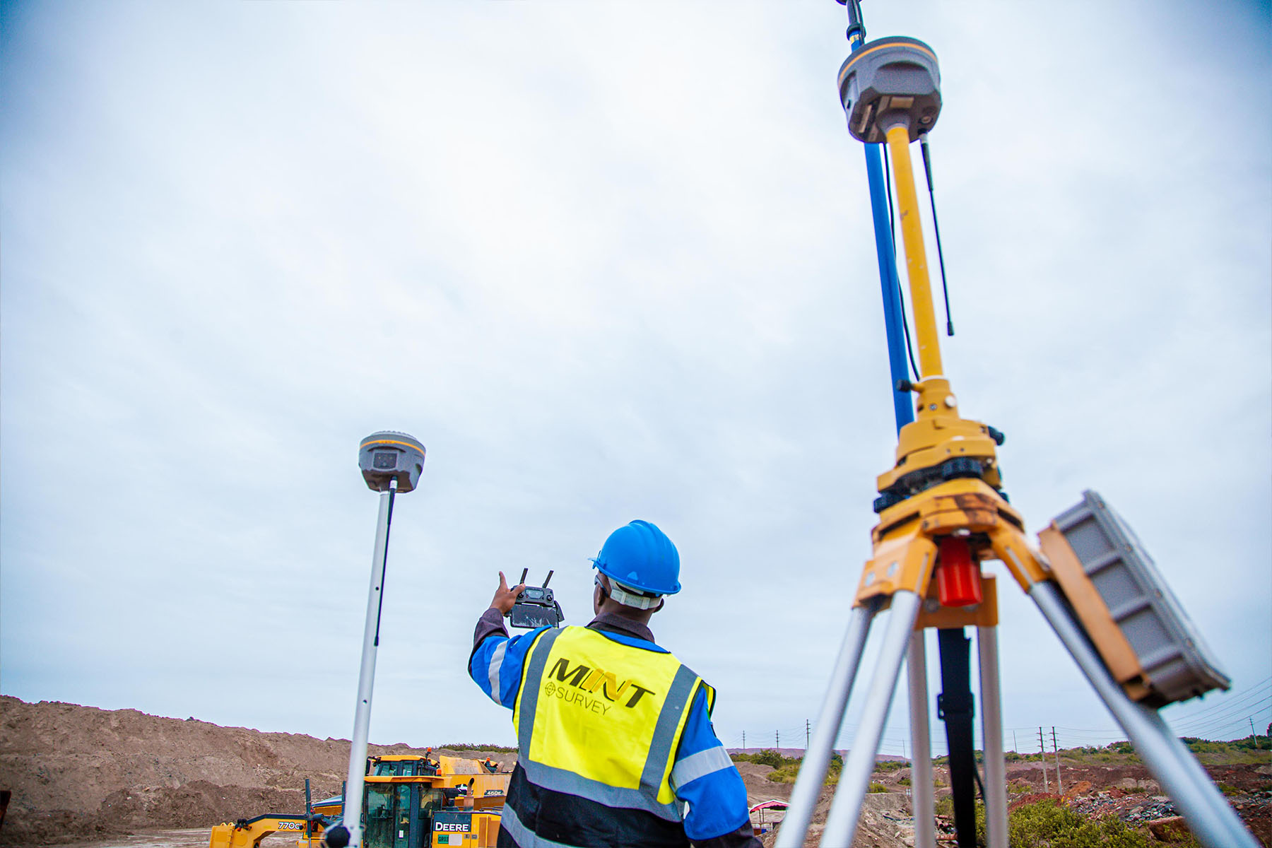
Our technologies
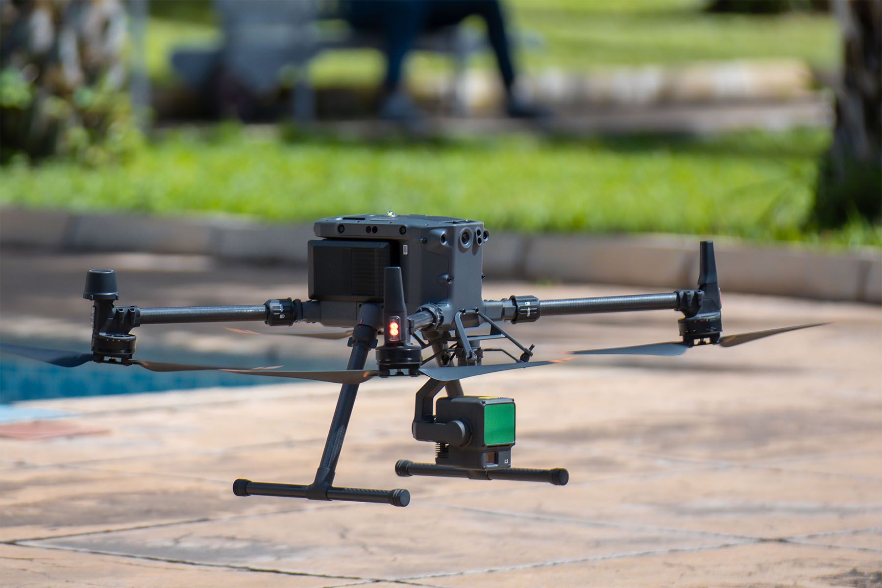
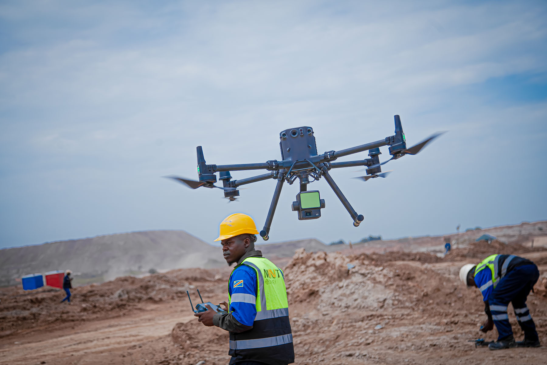
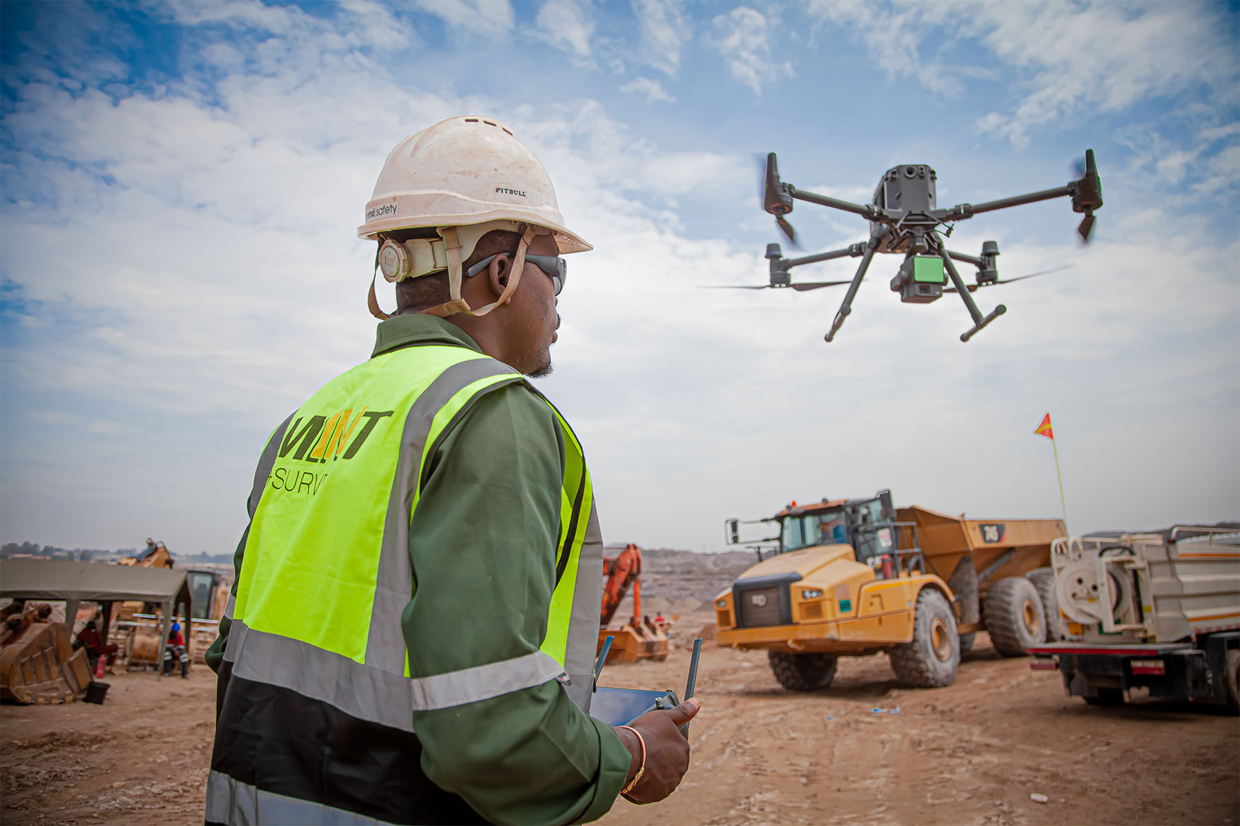
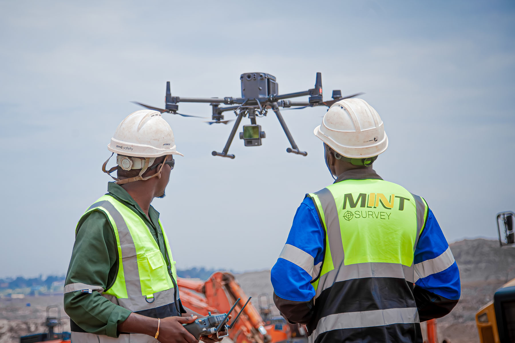
LIDAR (DJI ZENMUSE L3)
Fast acquisition of highly accurate 3d data with a proven ability to penetrate dense vegetative canopies to capture true ground topography.
MULTISPECTRAL
Advanced crop and soil analysis across different wavelengths to evaluate crop health indices (NDVI) and soil variations.
THERMAL
High-accuracy infrared imaging for temperature anomaly detection, facility asset monitoring, predictive maintenance, and corporate site security.