Civil engineering & urban planning
Initial ground surveys

High-precision surveying services tailored to every single phase prior to construction.
Geometric control & alignment
Rigorous ongoing validation of structures, alignment verification, and strict level controls.
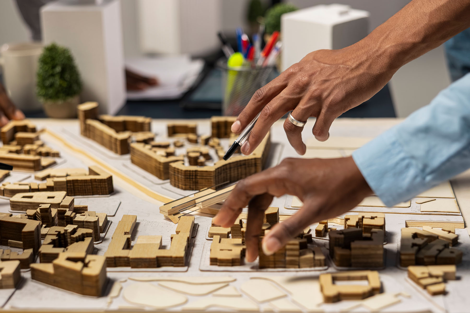
3D geospatial modeling & urban mapping
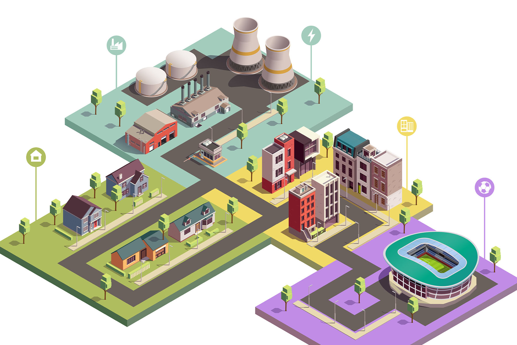
Rigorous land control and exact 3D terrain representation to secure large-scale infrastructure projects and master plans.
High-resolution orthomosaics
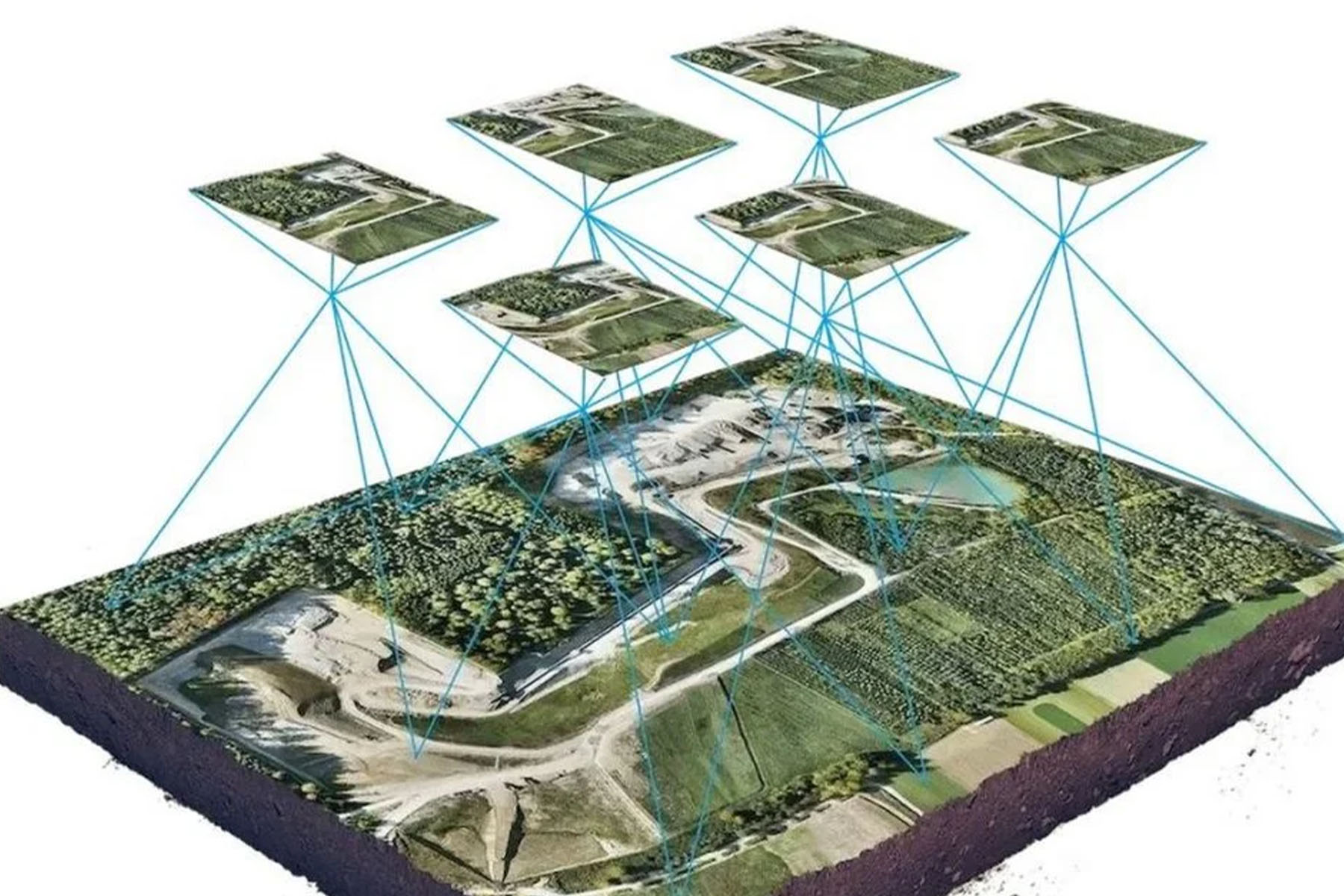
Production of ultra-high-resolution aerial imagery and seamless maps for visual analysis and site progress tracking.
Vector data production
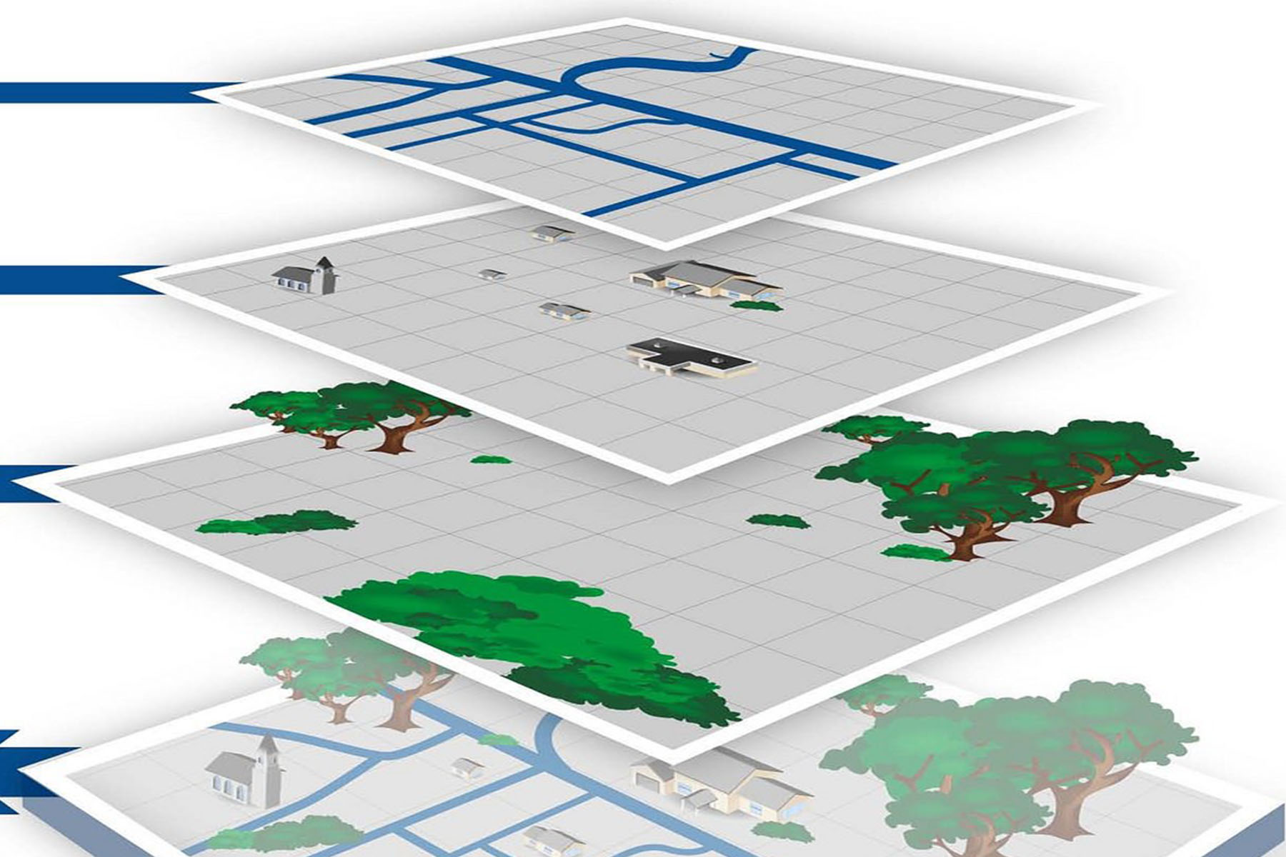
Creation of highly detailed CAD -ready vector files and GIS layers to analyze spatial relationships between objects and infrastructures.