Agro-industry & Agribusiness
Vegetation vigor analysis
Assessing plant health and crop status using specialized multi-spectral remote sensing imagery.
Crop stress detection
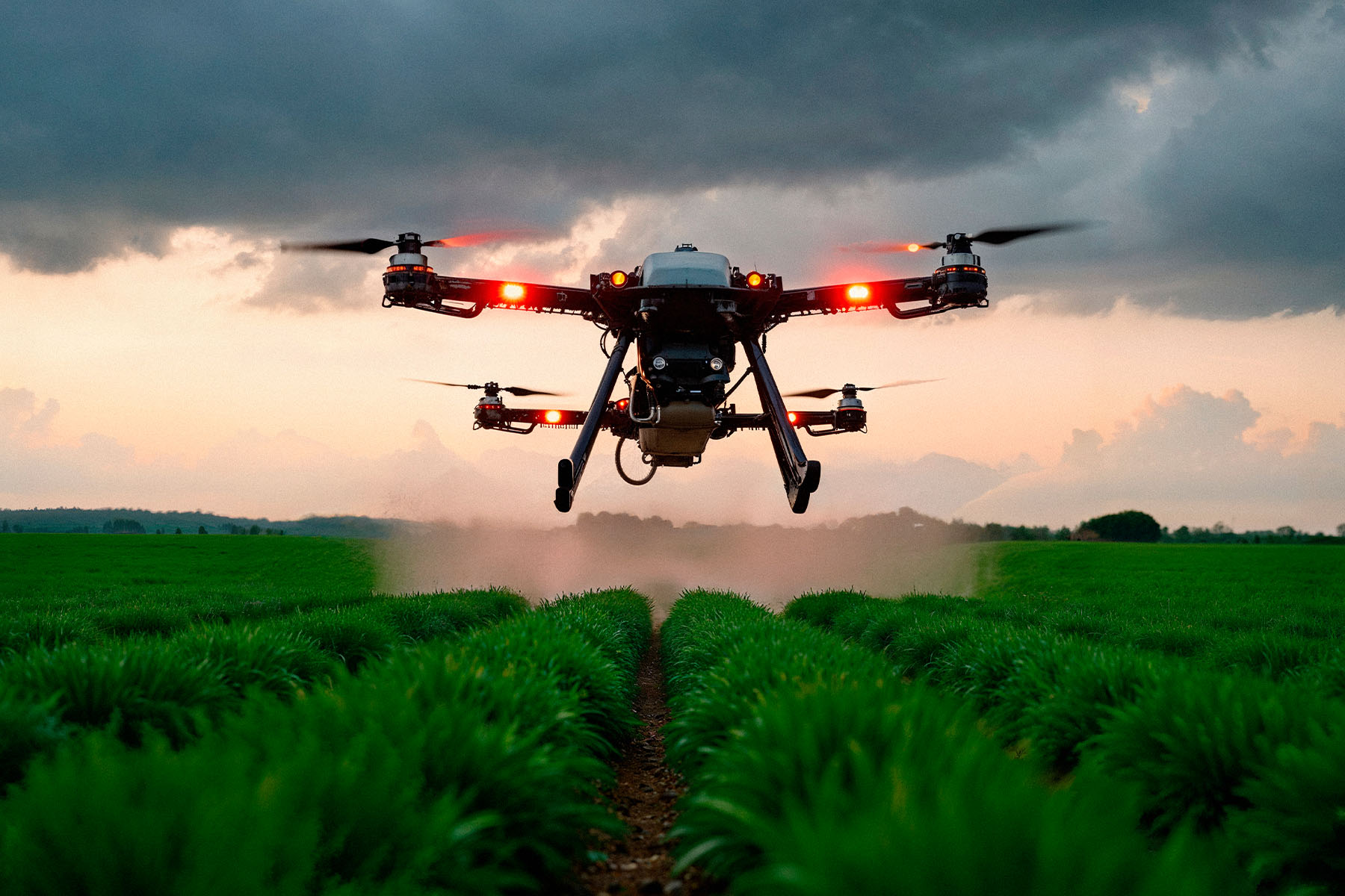
Early identification of crop anomalies, including hydric (water) or nutritional stress zones.
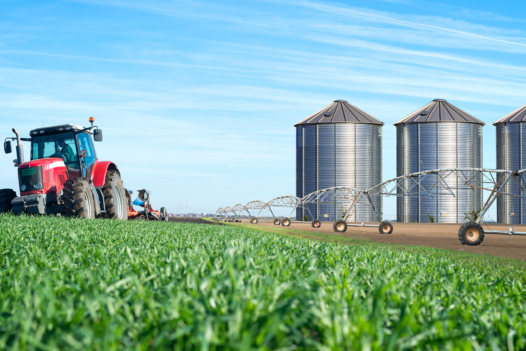
Agricultural mapping & parcel monitoring
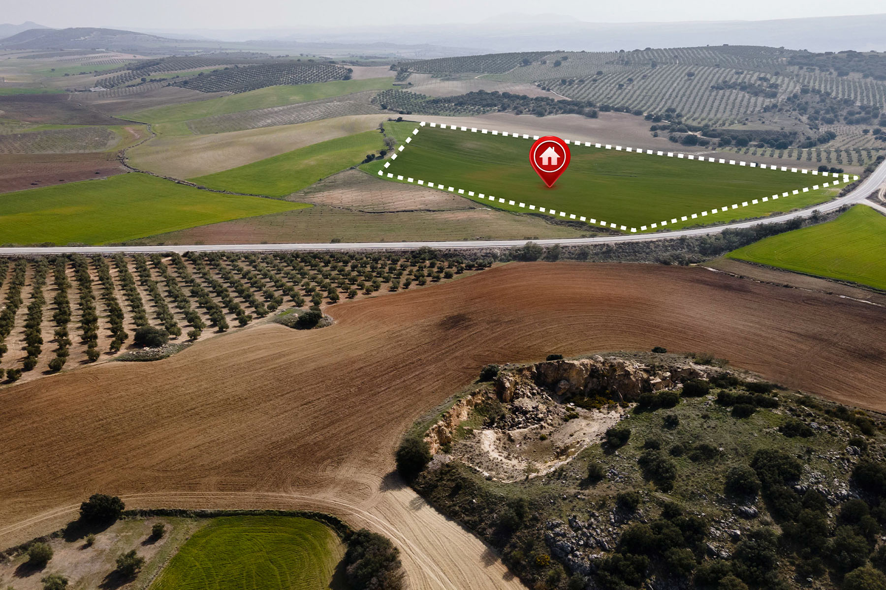
Real-time crop monitoring and site surveys using drones and satellite data integration.
Data-driven decision making
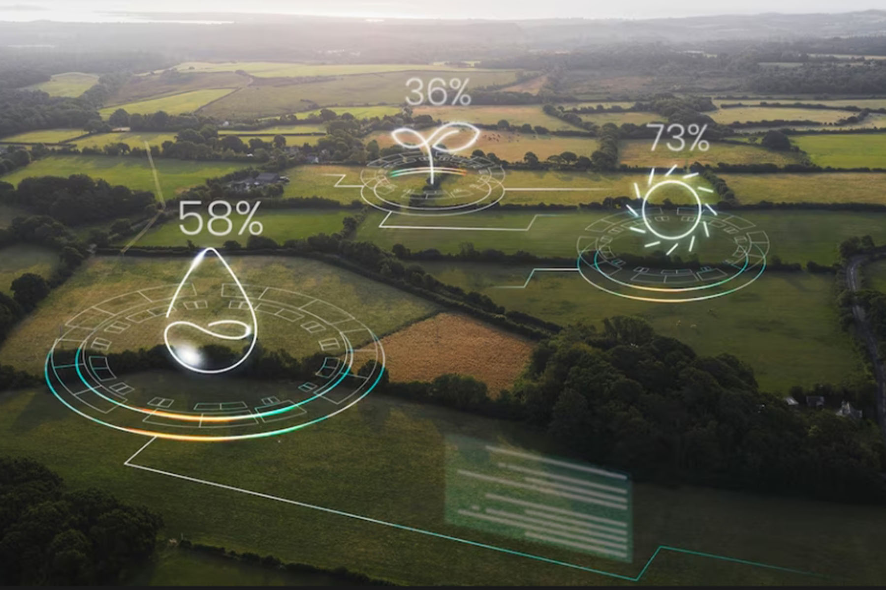
Transforming spatial data into actionable intelligence to optimize crop management, reduce operational costs, and maximize yields.